Shore Lunch Sites on the Lake
What’s a Shore Lunch Site?
In 1994, the Vermilion Lake Association recognized the need for designated locations where boaters could safely pull up to shore and enjoy a shore lunch or picnic. Although there were many campsites on State or Federal land on the lake, none provided safe boat dockage for today’s larger watercraft. The demand for day-use facilities on the lake was also rising as more resort guests and property owners utilized the boating and fishing opportunities of this great lake.
To address this need, our club initiated cooperative agreements with the USDA Forest Service and the Minnesota DNR to install boat docks and picnic facilities at a number of scenic locations.
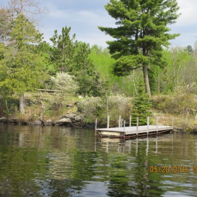
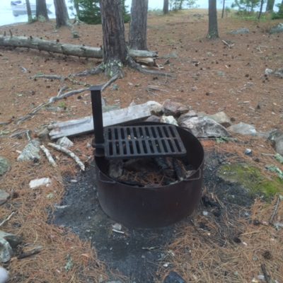
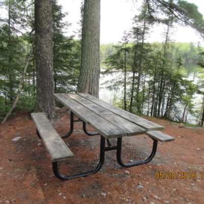
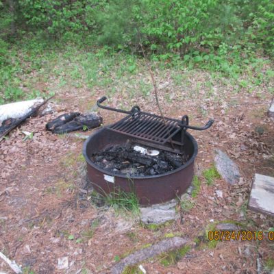
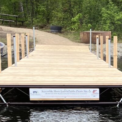
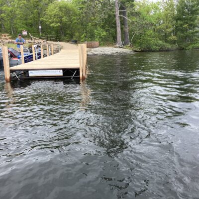
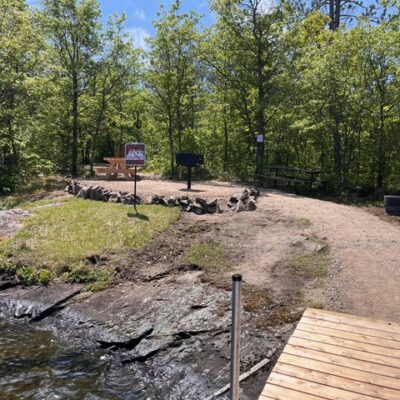
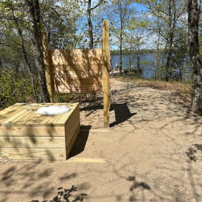
Over the years, the number of sites has grown to eight, like the Bystrom Bay site pictured here. Each is equipped with a safe dock, a picnic table, a fire ring/grate and a wilderness latrine. The Vermilion Lake Association maintains the sites as a community service.
Allowed Site Use
The Vermilion Lake Association invites you to use these sites to stop for lunch, stretch your legs, use the latrine or to explore the woods and observe wildlife. After enjoying the site, please remove any litter and make sure the campfire is totally out. Please keep in mind that these are day-use sites only. They are not to be used for overnight camping. And the docks are not strong enough for houseboat mooring.
If you observe a violation in progress, write down the license number of the watercraft involved, the date and time, and report that information to Vermilion Lake Association volunteers Mike Ptak, 612-986-7984, or John Zwieg, 218-666-5008.
How Do I Find a Shore Lunch Site?
Check out our easy-to-print PDF map with GPS coordinates and additional info. We suggest you keep a copy in a Zip-loc bag in your boat.
Shore Lunch Site Volunteers
Vermilion Lake Association volunteers check our shore lunch sites frequently to assure that they are clean and safe. We appreciate their assistance.
Perhaps there’s a site near your lake home or on a route you travel frequently. If you’d be willing to check it out a couple times per month during the boating season, please contact Mike Ptak on the east end of the lake or John Zwieg on the west end.
Bear Creek
N 47.8977° W 92.2590°
Black Bay
N 47.9580° W 92.5793°
Bystrom Bay
N 47.9088° W 92.3855°
Mattson Bay
N 47.8433° W 92.2100°
Norwegian Bay North
N 47.9458° W 92.5872°
Norwegian Bay South
N 47.9302° W 92.5803°
Swedetown Bay
N 47.8318° W 92.2613°
Wolf Bay
N 47.9280° W 92.4665°
Smart Bay
N 47.8948° W 92.4461°

